blah blah blah
Jericho Falls
Length: 1.2 miles out-and-backDifficulty (click for info): Beginner
Elevation Gain: 20 feet (+130 feet on return)
Rating (click for info): 7/10
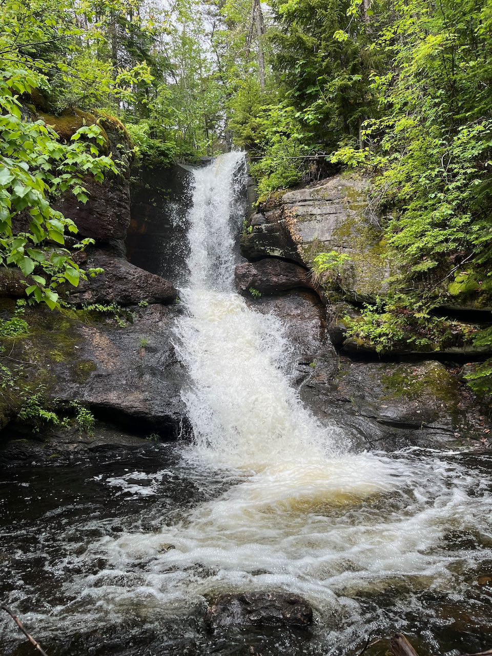
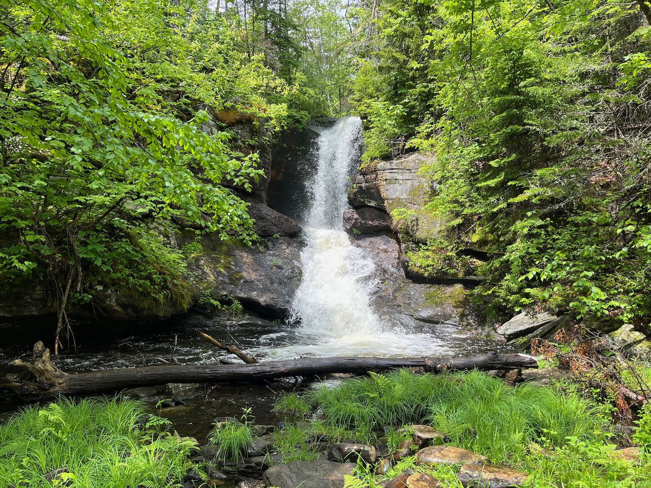
Height: 25'
Source: Jericho Brook
Driving Directions:
Trailhead and parking area are at Jericho Mountain State Park in Berlin, NH. From Rt. 110, 3.6 miles northwest of the junction with Rt. 16 in downtown Berlin and 7.4 miles southeast of the junction with Rt. 110A, turn southwest onto Jericho Lake Road, marked by a state park sign. Drive 1.3 miles and park in the large lot in front of the welcome center. Click here for a Google map.
About the Hike:
Concealed in an indistinct location in Jericho Mountain State Park is an awe-inspiring waterfall, but most visitors would never know, as the primary draw of the park is ATVing. The park is not conducive to hiking and is not promoted for it, but with a little effort, you can find this natural beauty and will likely be able to enjoy it alone. The waterfall itself is fed from the outlet of man-made Jericho Lake, but you would never be able to tell based on its verdant forest surroundings. Amongst the greenery, the brook pours as out of a pitcher over a rock wall into a globe-shaped basin and then slides out down a ledgy ramp into a spacious pool. The waterfall and pool appear of a grander scale than would be expected from such a small brook.
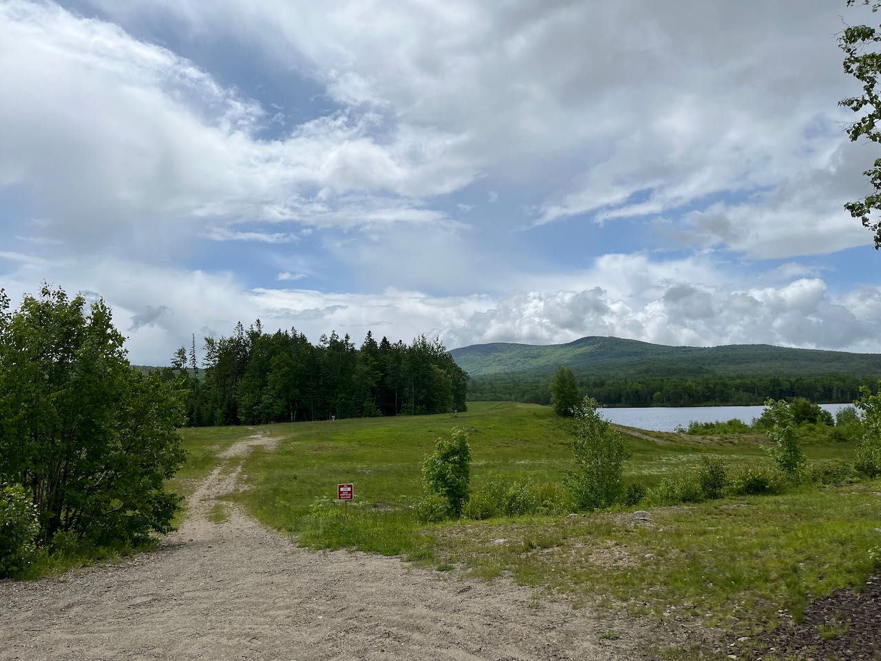
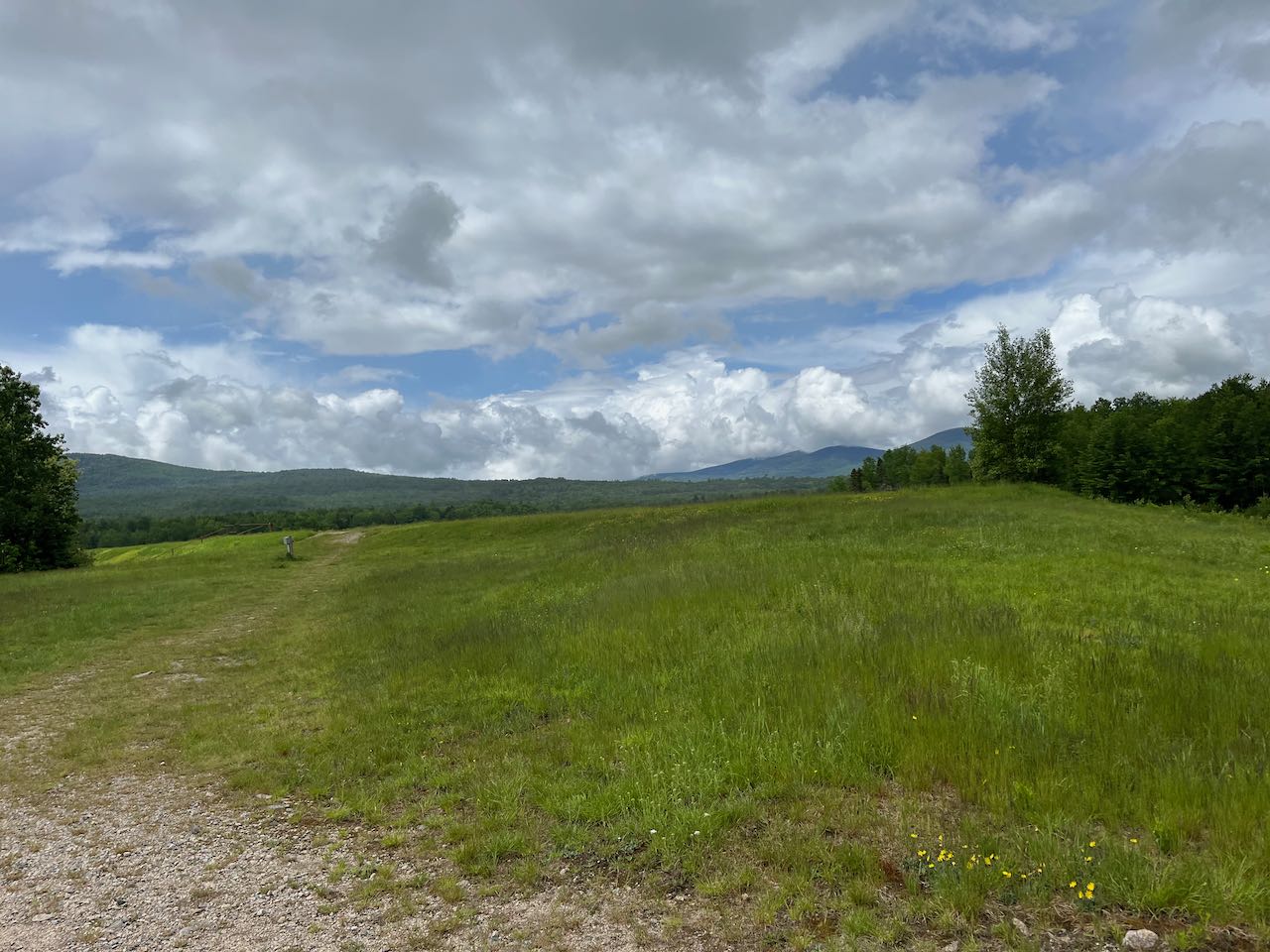
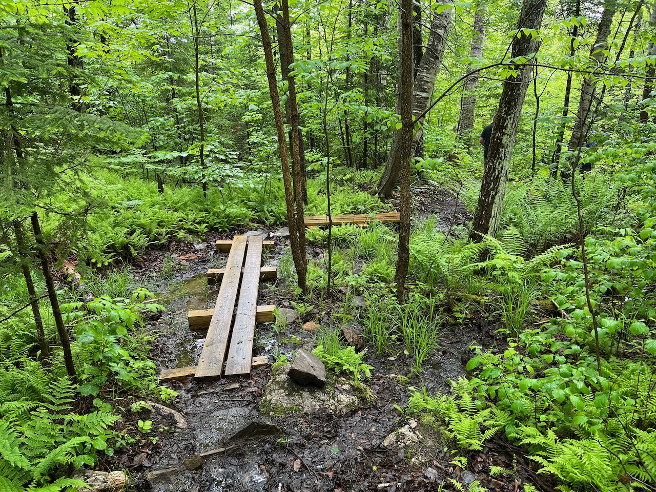
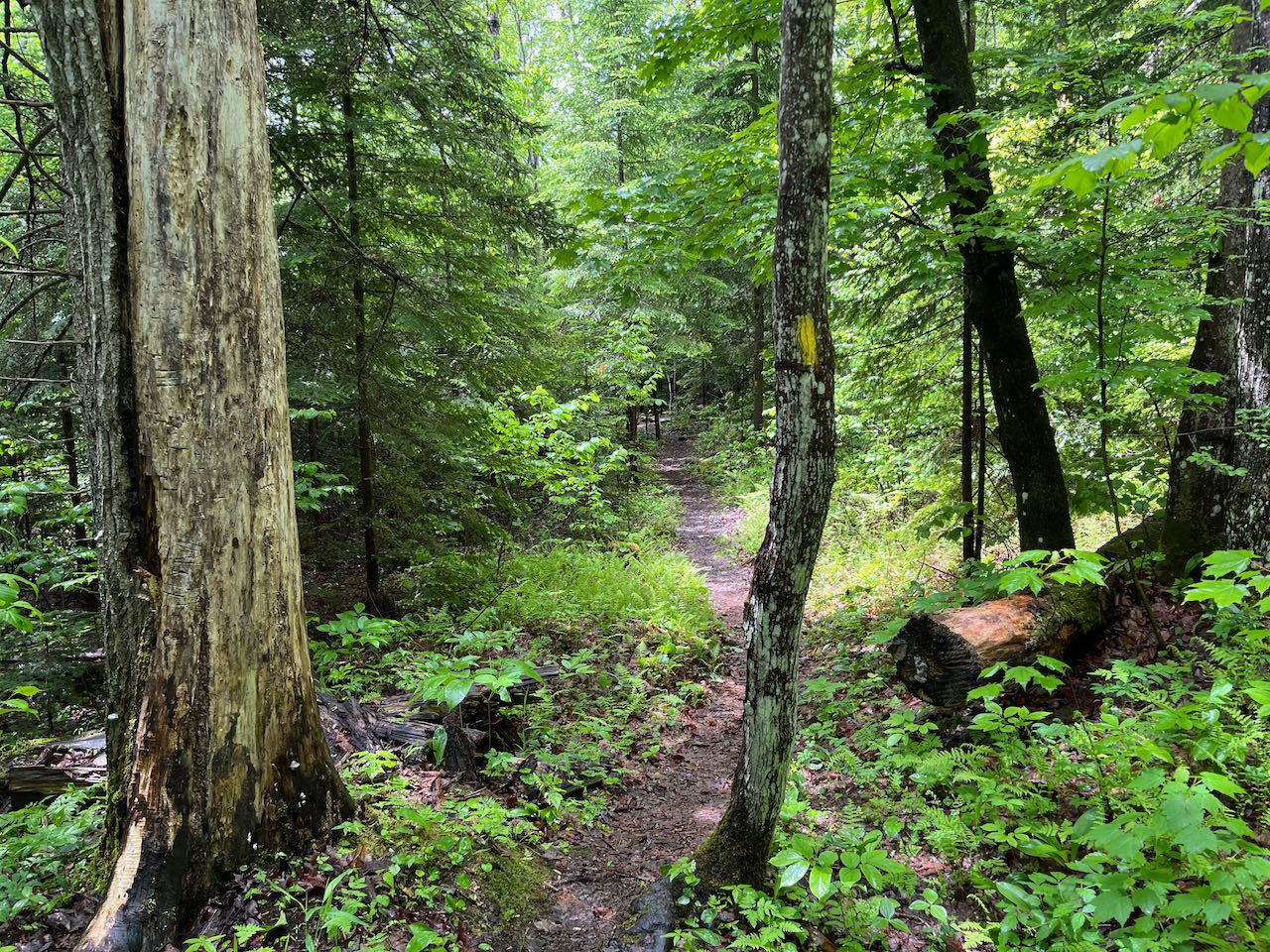
From the kiosk in the middle of the large parking lot, cross the road and proceed onto the one-way entrance road through the campsites. Walk 300 feet to an intersection and bear left. Walk by campsite #8 and reach another intersection with signposts pointing to various numbered campsites. At this spot, bear right off of the pavement and follow a dirt path around the side of campsite #9 and out into the open field (pass a sign indicating ATVs are restricted from this area). Follow it across the clearing, passing near the dam forming Jericho Lake. Enjoy the nice views out to the surrounding hillsides in all directions. Some of the peaks of Mt. Weeks and Terrace Mountain can be seen over the dam. In 800 feet, merge with another path coming from the right and walk downhill to the left, along the edge of the trees. In just over 0.1 miles, look for an orange plastic sign marking the entrance to a foot trail on the right. Turn down here and follow the yellow blazes into the woods. The path drops down a moderate incline, with some bog bridges over muddy sections. Then it swings to the right and runs across level ground, arriving at the falls after 0.2 miles. Walk out onto the grass-hemmed rocks to enjoy the view of the roaring torrent as the brook plunges into a sculpted ledge.
Printable directions page